Polar Vortex collapse set to send temperatures plunging in the US and Canada
The weather event could unleash extreme winter conditions and disrupt travel

For free real time breaking news alerts sent straight to your inbox sign up to our breaking news emails
Sign up to our free breaking news emails
Sign up to our free breaking news emails
A polar vortex collapse is expected over the next two weeks, causing extreme winter weather and travel disruption across North America.
The weather phenomenon is expected to develop in mid-March, bringing severe cold temperatures across parts of Canada and the United States. It may also impact the UK and Europe.
A polar vortex collapse occurs when the layer between 10 and 50km above Earth’s surface warms up to 50 degrees in just two days - known as sudden stratospheric warming (SSW). This warming can weaken the polar vortex, causing cold Arctic air to move southwards and can lead to extreme weather conditions.

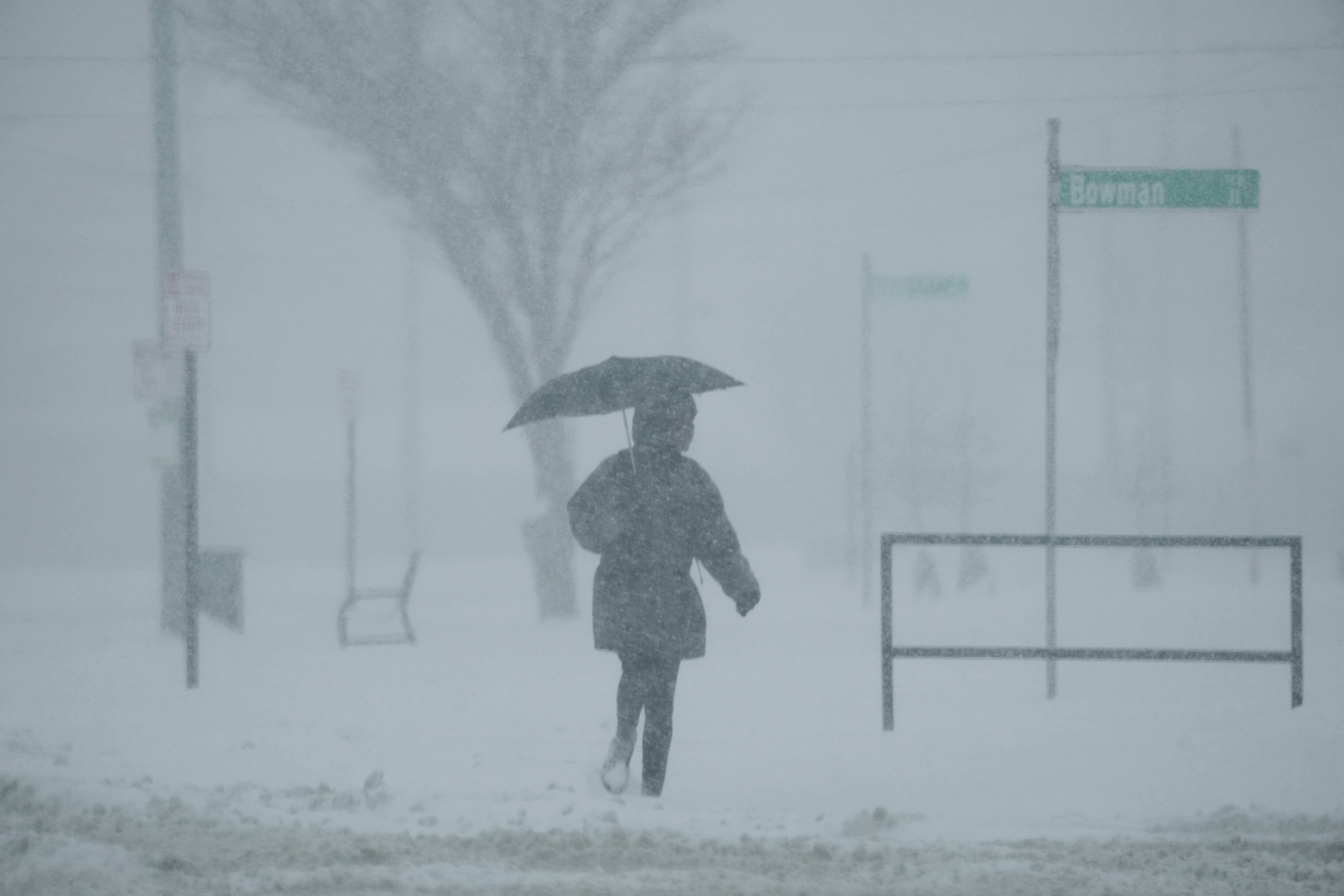
The polar vortex collapse will be the second in 2025, after a collapse last month caused deep freezes and travel havoc in North America.
Snow, storms, and sub-zero temperatures impacted millions of Americans and the majority of the country in February.
If the upcoming vortex disruption weakens the jet stream, it may release cold air from polar regions into North America or Eurasia.
“We are predicting a displacement of the polar vortex on the Europe and eastern Canada side of the polar,” AccuWeather’s Lead Meteorologist Paul Pastelok told The Independent.
“When the Polar Vortex is disrupted - whether stretched, displaced, or split - it can, but does not always, impact this polar jet stream.
“The timing is uncertain for North America but could see a change in the pattern for late March into early April.”
A polar vortex is a large area of low pressure and cold air which rotates around the North and South poles of the Earth and corresponds with the narrow bands of wind 8 to 11 kilometres above Earth’s surface, known as the jet stream.
When the vortex is weakened, the jet stream can become less stable and lets cold polar air spill southward leading to extreme and unpredictable weather.
Mr Pastelok explained that there is a small chance of a “complete split” in the jet stream pattern, which could last four to seven weeks.
But a “displacement” or a change in the pattern is more likely. Such a change would last less time and would affect Europe and central and eastern North America, Mr Pastelok added.
The weather event may also impact the UK, with forecasters warning that temperatures could drop again after a temporary reprieve this week.
“SSWs don’t always impact our weather but if they do it can take a few weeks before impacts might be felt on the earth surface,” the UK Met Office told the Independent, adding that the warming is so high up that we don’t feel it directly. “If this happens this would act as a factor in favouring blocked/slowly evolving patterns for the remainder of March and could bring colder weather to the UK.”
Join our commenting forum
Join thought-provoking conversations, follow other Independent readers and see their replies
Comments